Jennifer Andrews (@Jen_Andrews) from North Peace Secondary School got my interest going in a scale model of the solar system in the city.
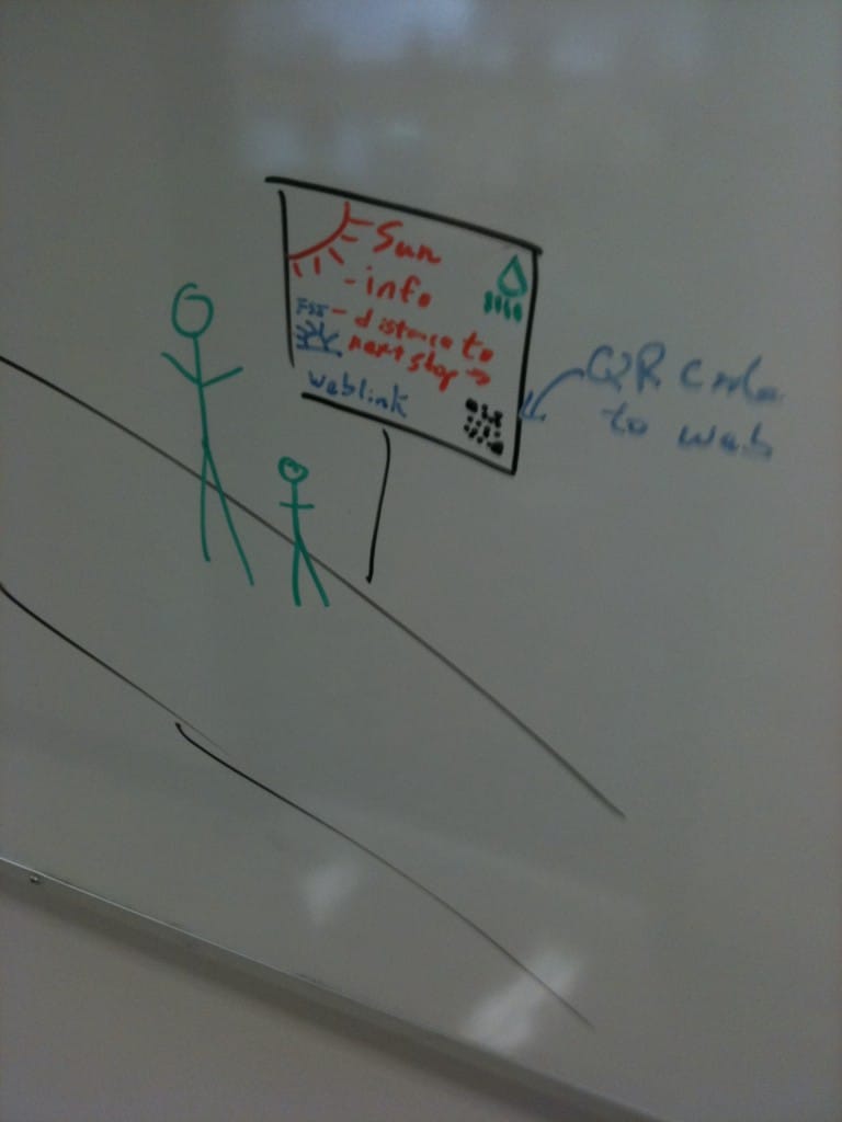
So here is the initial thought visualization http://yfrog.com/h3vdwrbj
Starting on one end of the bypass walking trail we would have a street sign up with information about the Sun. The sign would have some info, and scale distance and actual distance to next body (Mercury) along the trail. We could have signs for the important bodies (Venus, Earth, Moon, Mars, Asteroid Belt, Jupiter etc ) as well as signs for spacecraft at certain dates in history (ie Voyagers, Pioneers). All would be placed at scale distances along the trail.
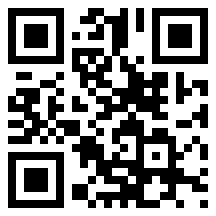
Each sign would have a QR Code as well that using a scanner app on a smartphone would take you to a website with content created and compiled by students about the celestial body. Like this one below which would take you to www.prn.bc.ca
I wrote the City of Fort St John, via twitter (@fortstjohn) and facebook and was directed to Victor Shopland. Currently emailing with Mr. Shopland. He sounded optimistic about possibilities!
I envision that a class from different schools could work on the content for each web page. I would hope this is something we could work on in the 2011-2012 school year, compiling the info in the first part of the year; getting signs put together through the winter; and hopefully putting them in the ground in April-June of 2012.
We might need to find some dollars for the signs, but the more important question for me right now is:
Are you a class that would participate? If you are, please contact me. jbell@prn.bc.ca or @jbellsd60
Mercury
Venus
Earth – Martine Bergeron – Ecole Central
Our Moon
Mars
Asteroid Belt and Ceres
Jupiter – Samantha Butler & Hunter Mackay – NBCDES
Saturn
Uranus
Neptune
Kuiper Belt and Pluto
Other ideas?
Voyager or Pioneer Spacecraft on specific days in history?
Canadian astronauts / innovations / innovators


